You can check the title deed, the beacons and the access road. But a hydrogeological survey in Kenya is the only check that tells you what the land will really cost you in water.
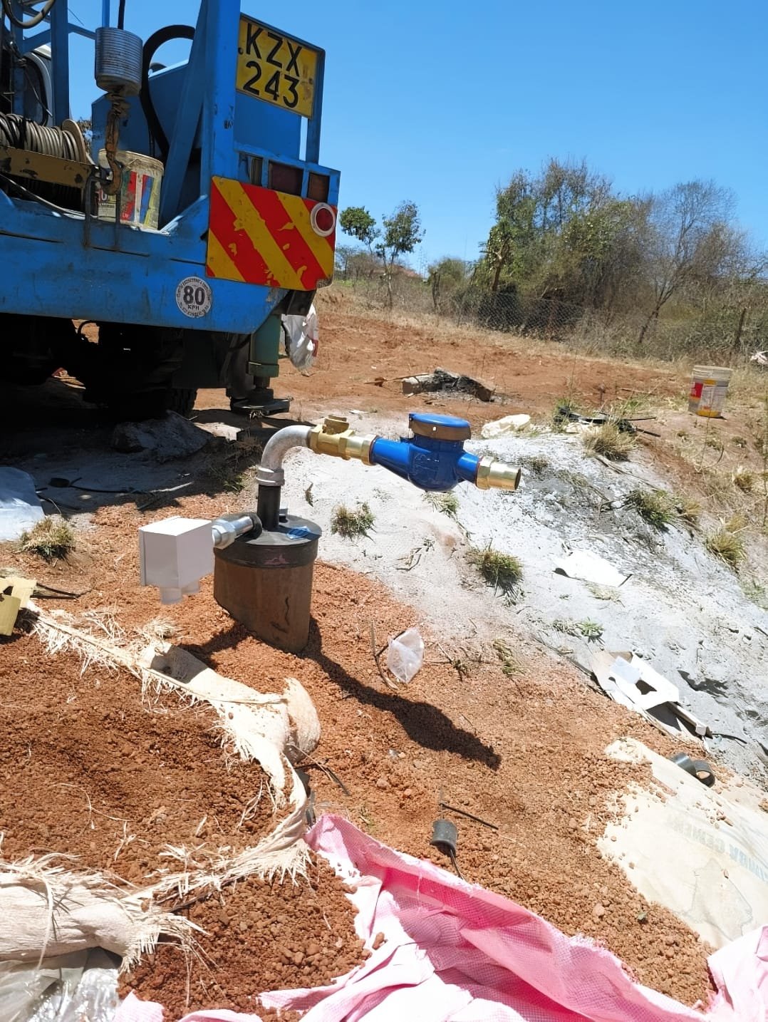
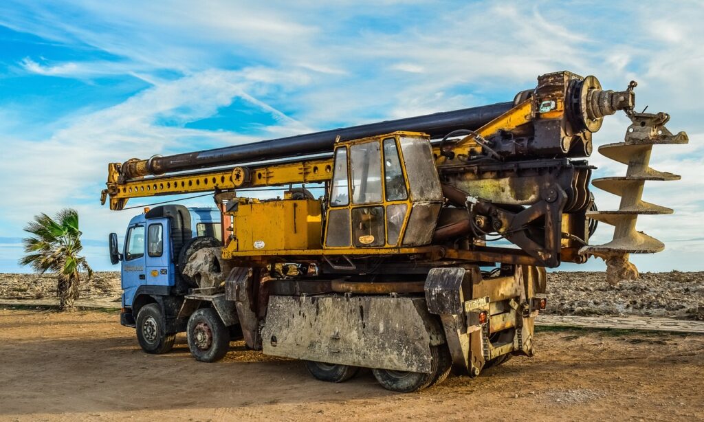
Picture this. You find a flat, fenced plot with a clean title and a price you cannot walk away from. You pay, you plan the house, and then the drilling rig goes past 250 metres with the budget long gone.
The land was never the problem. The problem was that nobody asked what was under it.
So, can you know how deep the water table is before buying land? Yes. A professional hydrogeological survey estimates the depth, likely yield and quality risks of groundwater on a plot before you pay a single shilling for the land.
It will not give you an exact figure to the metre, and no honest driller will promise that. What it gives you is a reliable range, a recommended drilling point and a realistic budget, which is exactly what a buyer needs.
First, what do we mean by the water table?
Most people say water table when they mean the depth a borehole must reach. In practice there are three different numbers, and mixing them up is how budgets go wrong.
| Term | What it means | Why it matters to you |
|---|---|---|
| Water strike level | The depth where the drill first meets water | Tells you how deep the aquifer starts |
| Static water level | The level water rises to and rests at inside the borehole | Decides how deep your pump must sit |
| Total drilled depth | How far the borehole goes to secure enough yield | Drives most of your drilling cost |
In much of Kenya, water does not sit in one neat underground lake. It is held in cracks, weathered rock and layered volcanic aquifers, so depth can change sharply from one plot to the next.
Why borehole depth should shape your land decision
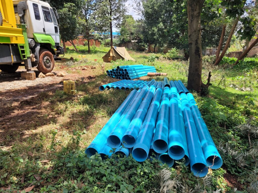
Borehole drilling is priced per metre, so depth is the single biggest driver of cost. A deeper borehole also needs more casing, a stronger pump, longer cable and more power to lift the water.
That means two plots at the same price can carry very different true costs. Use our free Borehole Cost Calculator to see how depth changes your budget.
The numbers every Kenyan land buyer should know
Kenya is a water scarce country, and groundwater is getting harder to reach in the areas where land is selling fastest.
| The figure | What it tells you |
|---|---|
| About 618 cubic metres of renewable water per person per year | Well below the 1,000 cubic metre line that defines water scarcity (USAID Kenya Water Resources Profile) |
| About 80 percent of Kenya is arid or semi arid | Most land on the market depends on groundwater, not rivers or reliable rain (World Bank) |
| Nairobi boreholes grew from 2 in 1927 to about 2,500 by 2009 | More boreholes are sharing the same aquifers (SEKU repository study) |
| Nairobi water rest levels fell by an average of 79 metres over 80 years | The same study found 67 percent of that drop came in the last two decades it covered |
| Groundwater under Nairobi has declined at a median of 6 metres per decade since 1950 | Some parts of the city have seen drops of up to 46 metres (Hydrogeology Journal, 2020) |
A hydrologist quoted by the Thomson Reuters Foundation noted that Nairobi boreholes in the 1980s went to about 80 metres. Many new boreholes in the city now go several times deeper.
The lesson is simple. The depth your neighbour reached fifteen years ago is not the depth you should budget for today.
Five ways to find out the depth before you sign
1. Commission a hydrogeological survey before you pay
This is the only method that gives you a professional estimate for the exact plot. A licensed hydrogeologist studies the local geology and measures how the ground conducts electricity at different depths to locate water bearing zones.
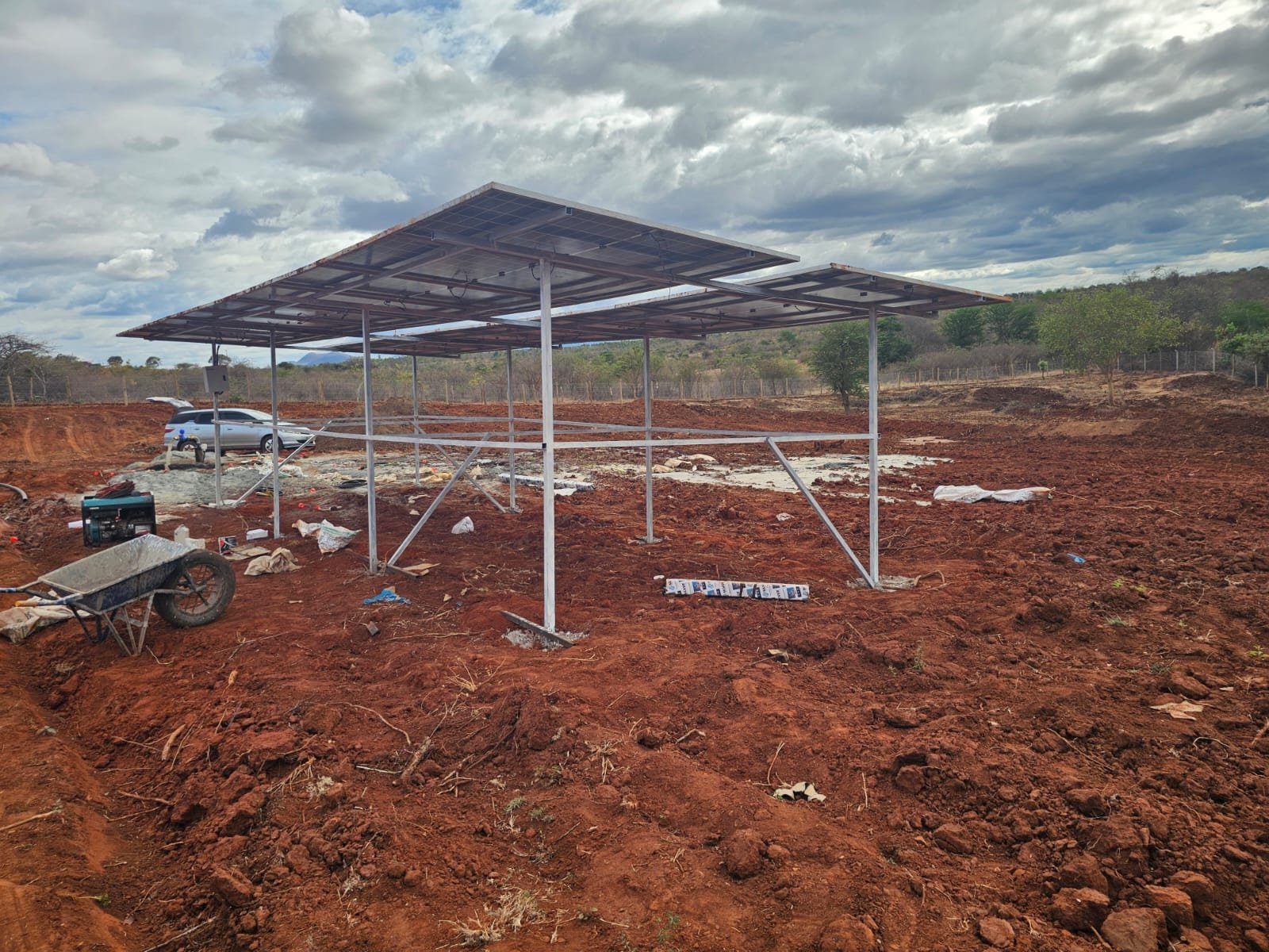
The report gives you a recommended drilling point, an estimated depth range and the expected water quality risks. Ask the seller for written consent to survey, and make your offer conditional on the results.
Here is the part most buyers miss. Under the Water Act 2016, you must commission this survey anyway before the Water Resources Authority (WRA) will authorise drilling. Doing it before purchase is not an extra cost, only a smarter order of events.
2. Ask the neighbours the right questions
Neighbours with boreholes are a free and honest source of local data. Do not stop at “how deep is your borehole?”
- How deep did they drill, and at what depth did they first strike water?
- What year was it drilled, and has the water level dropped since?
- How much water does it give per hour, in both wet and dry seasons?
- Is the water fresh, salty or hard, and has it ever been tested?
3. Check records from boreholes already drilled nearby
Every legally drilled borehole in Kenya ends with a completion report filed with WRA, recording depth, construction and yield. A good hydrogeologist reviews data from surrounding boreholes as part of the desk study.
This is one reason an experienced local team adds so much value. They are not guessing from one reading on one afternoon.
4. Read the land itself
Seasonal rivers, springs, shallow wells and the type of rock exposed in nearby quarries or road cuttings all offer clues. So does the position of the plot, since valleys and ridges often behave differently.
Treat these as clues, not proof. Green vegetation in April tells you about rain, not about what sits 150 metres down.
5. Talk to a driller who has worked in that area
A drilling company with projects near your plot already knows the typical depths, the difficult formations and the water quality to expect. Bonvic Drilling has completed more than 700 boreholes across all 47 counties since 2010.
One phone call before you commit can save you from a very expensive surprise. Call +254 727 666 444 or +254 797 000 555, or message us on WhatsApp.
What a hydrogeological survey in Kenya can and cannot tell you
A survey is a professional estimate, not a guarantee. Being clear about that protects you from anyone selling false certainty.
| A survey can tell you | A survey cannot tell you |
|---|---|
| The best point on the plot to drill | The exact depth to the metre |
| An estimated depth range to budget for | The exact yield in litres per hour |
| The type of rock and aquifer expected | The final water quality from the tap |
| Known quality risks in the area, such as salinity or fluoride | Whether levels will hold in twenty years |
Only drilling and proper test pumping confirm the final depth and yield. What the survey does is turn a blind gamble into a calculated decision.
Borehole depth is not the same everywhere in Kenya
Geology changes sharply across the country, so the right question is always about your specific area.
| Region | What is underground | What a buyer should watch |
|---|---|---|
| Nairobi, Kiambu and the metropolitan fringe | Layered volcanic aquifers | Deep boreholes and falling water levels from heavy demand |
| Machakos, Makueni, Kitui and parts of Kajiado | Old, hard basement rock where water sits in fractures | Two plots a short walk apart can give very different results |
| Rift Valley, including Nakuru, Naivasha and Baringo | Volcanic formations | Naturally high fluoride in many areas, so test before drinking |
| Coast, including Mombasa, Kilifi, Kwale and Lamu | Sedimentary and coral formations | Salty water, which can worsen as you go deeper or pump harder |
| Northern and north eastern counties | Sparse aquifers in dry terrain | Long distances between productive sites and salinity risk |
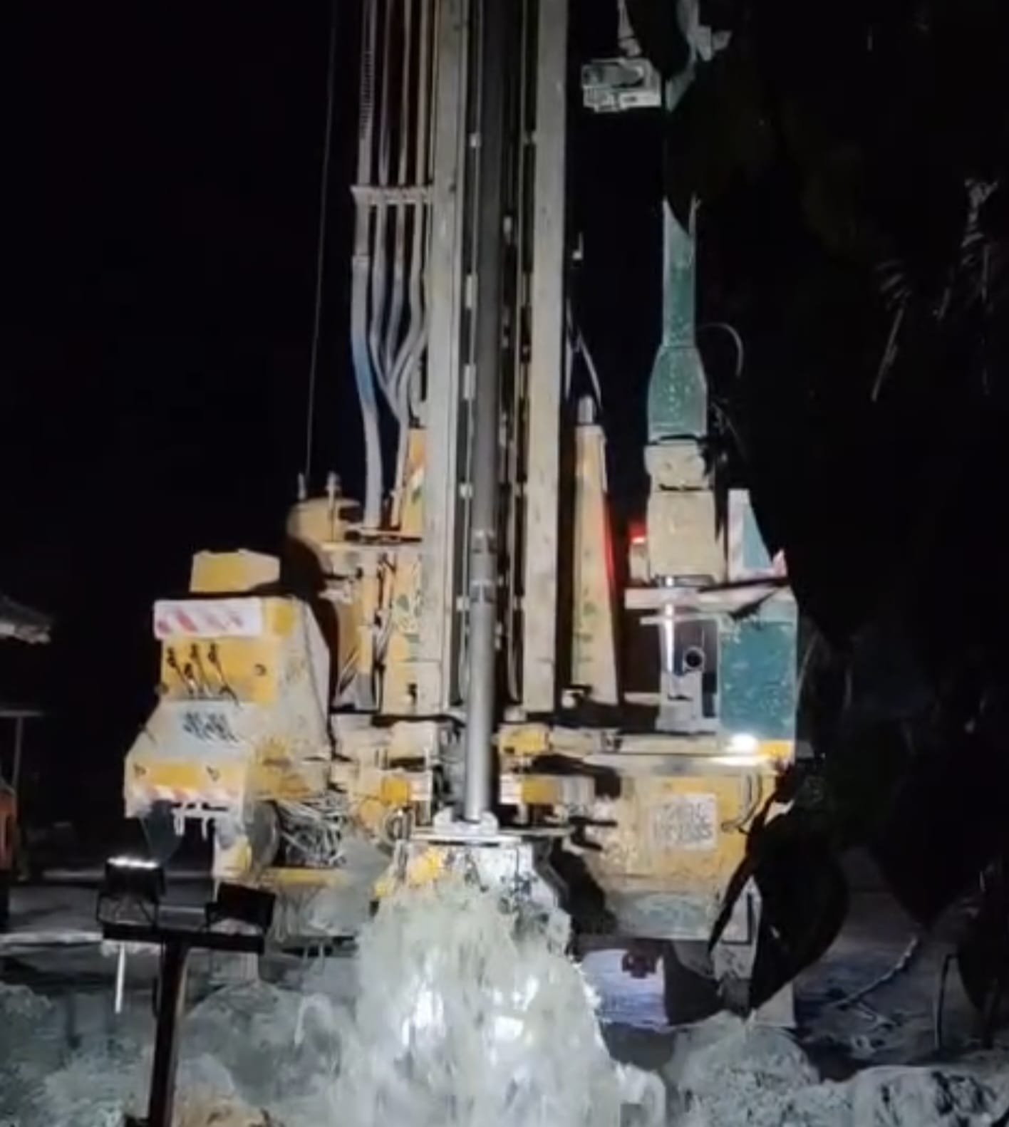
In fractured basement rock especially, siting is everything. A borehole drilled a short distance off the right point can come up weak or dry while the correct point produces well.
For a full picture of the process, read our guide to drilling a borehole in Kenya. Buying near the city? See borehole drilling in Nairobi.
Two buyers, one area, two very different outcomes
The following is an illustrative example, not a specific client.
Buyer A finds five acres in Kajiado and pays in full because the price is good. The survey comes later and shows weak fractures, a much deeper recommended depth than the neighbours suggested, and a real salinity risk.
The borehole budget nearly doubles, and the farming plan has to shrink to fit the water. The cheap land was never cheap.
Buyer B shortlists two plots in the same area and makes each offer conditional on a survey. One plot shows a strong, shallower water bearing zone, while the other looks marginal.
Buyer B takes the better plot and budgets with confidence. The survey fee was a tiny fraction of the land price, and it decided the whole investment.
Your checklist before buying land
- Ask the seller for written consent to carry out a hydrogeological survey
- Make your offer conditional on the survey results
- Use a licensed hydrogeologist and confirm the report will be accepted for your WRA application
- Speak to at least three neighbours with boreholes about depth, yield, year drilled and water quality
- Ask what the estimated depth means for pump size, power and total budget
- Check the water quality risks for the area, especially fluoride and salinity
- Confirm your drilling contractor is licensed by WRA
- Compare the full cost of land plus water, not the land price alone
Frequently asked questions
Can I survey land I do not own yet?
Yes, as long as the owner gives consent for the team to access the plot. Many serious sellers agree, because a positive report makes their land easier to sell.
Is a hydrogeological survey a guarantee of water?
No. It is a professional estimate based on geology, measurements and data from nearby boreholes, and it greatly reduces the risk of a dry or weak borehole.
Is my neighbour’s borehole depth enough to go by?
It is a useful clue, not a plan. Water levels shift over the years, and in fractured rock a neighbour’s result may not repeat on your plot.
Does deeper always mean better water?
Not always. In parts of the coast and the dry north, deeper water can be saltier, which is why quality risks belong in the survey conversation.
Do I still need a permit if the survey looks good?
Yes. WRA must authorise the drilling before work begins, and only contractors licensed by WRA may drill.
Thinking of buying land? Call us before you sign
A short conversation now costs you nothing. A blind purchase can cost you the entire project.
Bonvic Drilling will arrange your hydrogeological survey in Kenya, explain the report in plain language and give you an honest view of what the plot will need. We are licensed by WRA and have delivered more than 700 boreholes across all 47 counties.
Want a quick estimate first? Try our free borehole calculators.
Sources
- USAID Kenya Water Resources Profile: renewable water per person and the scarcity threshold
- World Bank, Climate Variability and Water Resources in Kenya: 80 percent arid and semi arid land
- Effects of drilling deep tube wells in the urban areas of Nairobi city, SEKU repository: borehole counts and the 79 metre drop in rest levels
- Hydrogeology Journal, 2020: 6 metres per decade decline and the 46 metre maximum under Nairobi
- Thomson Reuters Foundation via Christian Science Monitor, 2018: 1980s borehole depths in Nairobi
- Nation, Sinking a borehole? Here’s what you need to know: Water Act 2016 survey and WRA permit requirements